
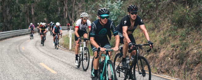
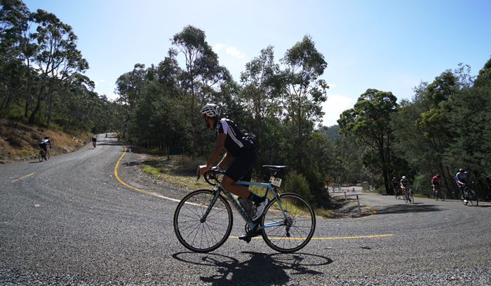
Here's the one you've all been waiting for... the notorious back of Falls, courtesy of our mate Matt de Neef from theclimbingcyclist.com.
The infamous Back of Falls is the final peak at Peaks Challenge Falls Creek. Hopefully, riders have fuelled themselves well and have ridden conservatively up Hotham to leave something in the tank for the final, brutal climb.
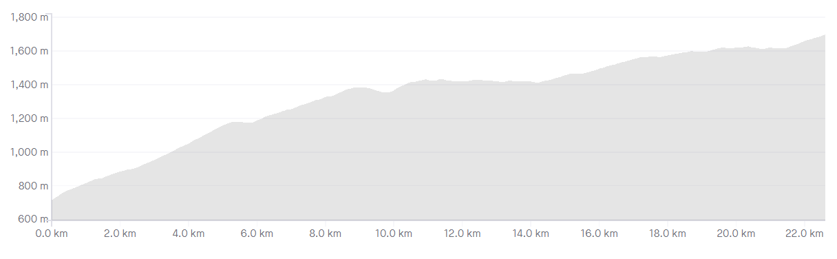
STATS
Length: 23.4km
Average gradient: 4.2%
Elevation gain: 980m
CLIMB INTRODUCTION
With its brutal opening kilometres and frequent steep pinches, the ‘Back of Falls’ is one of the most challenging climbs in Victoria. The road was sealed for the first time in 2009 and since then it has become a crucial ingredient in two of the state’s hardest challenge rides — the 3 Peaks Challenge and the Audax Alpine Classic Extreme.
THE START
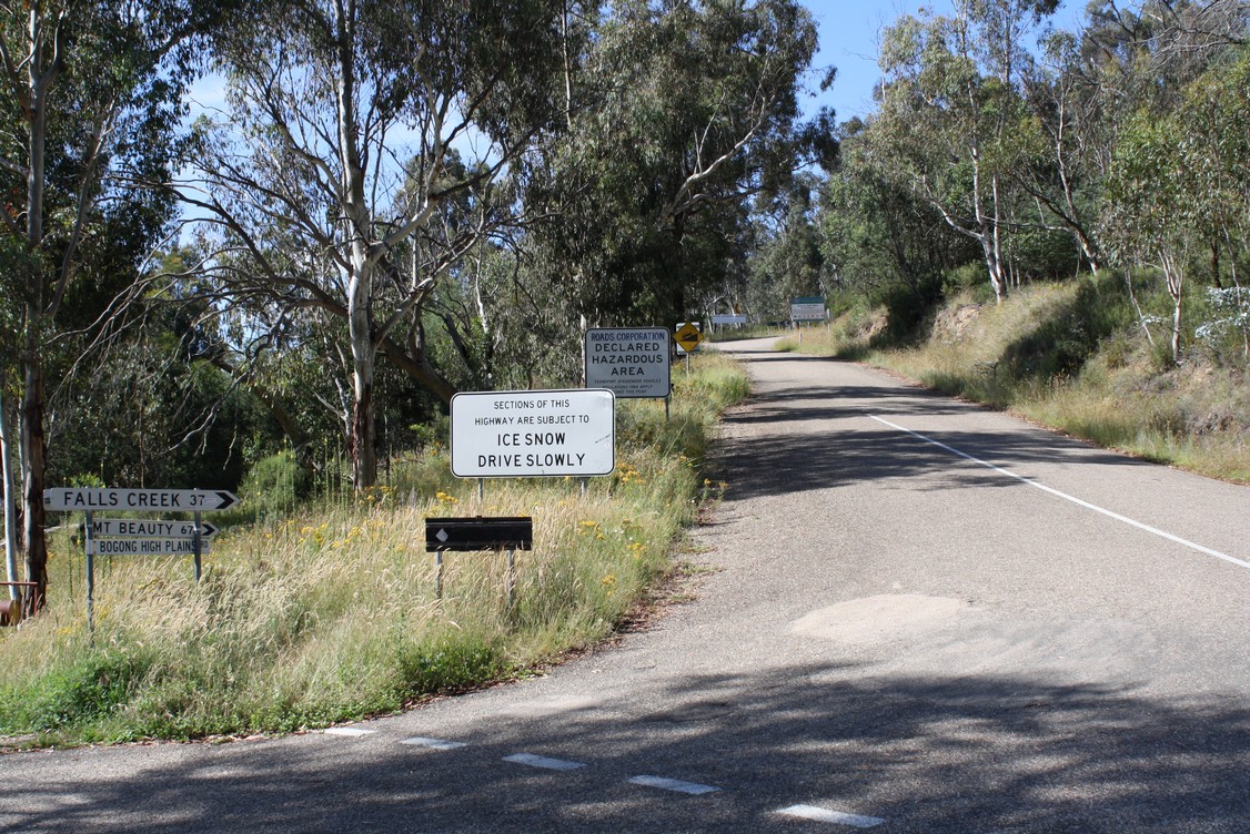
The Back of Falls climb starts at the intersection of the Omeo Highway (C543) and the Bogong High Plains Road.
THE FINISH
The Back of Falls climb ends at a crest in the road, roughly 13km before the Falls Creek ski resort.
AT A GLANCE
- A very challenging climb with a long, steep opening section.
- The first 400m of the climb rises at 10%+, the first corner being particular steep.
- The first 9.1km of the climb provide very little respite, with an average gradient of 8-9%.
- The climbing becomes considerably easier after Trapyard Gap at the 12.9km mark.
IN DETAIL
When you come face-to-face with the Back of Falls climb for the first time, you’ll instantly understand why the first pinch has come to be known as ‘WTF Corner’. The road climbs away from the intersection at a gradient well in excess of 10%, and when it bends right roughly 100 metres later, the gradient doesn’t let up.
It’s roughly 400 metres of climbing in excess of 10% before you reach the briefest of false-flat sections after which the climbing resumes at a more modest gradient (~8%).
There’s another (brief) false-flat to aim for at the 1.3km mark but straight after that, the road takes a sweeping right-hand bend and the gradient increases to beyond 10% once more. Some 300 metres later the road takes on a more manageable incline of around 7%.
At the 2.2km mark the road flattens off completely, albeit briefly, before the climbing resumes. Roughly 200 metres later the road kicks up again, touching gradients of around 9-10%. While there are some terrific views to enjoy off to the right of the road at this point, you’ll probably be too busy keeping the pedals turning over to notice.
As the road winds gently from left to right over the next few kilometres, the gradient hardly drops below 7%. There’s a couple of nasty pinches to contend with too, one after 3.9km (~10%) and one after 4.1km (~12%).
The climbing continues unabated until the 5.3km mark. At this time you’ll pass a sign reading ‘Alpine National Park’ as the road flattens of completely. In fact, the road stays flat for the next 500 metres and even goes slightly downhill. Take this opportunity to catch your breath — you’re going to need it.
Some 5.8km from the start of the climb the road heads skyward once more and within a couple hundred metres you’re back in 8%-gradient territory. At the 6.1km mark the road bends into a very sharp, very steep left-hander, with the gradient nudging 10% once more. After a slight false-flat 500 metres later the climbing continues at roughly 7%.
Over the next few kilometres the gradient stays relatively constant, apart from a brief 10% pinch at the 7.2km mark and a brief false-flat 200 metres later. There’s another false-flat 7.9km into the climb but 500 metres later you’ll come to a very sharp right-hand bend out of which the gradient increases to roughly 13%. The gradient stays in excess of 10% for a couple hundred metres before the road flattens off once more.
When you get to the 9.1km mark you’ll notice that the road flattens off completely. This is a good opportunity to sit up and take a deep breath and if you can manage it without falling off the bike, give yourself a high-five — the hardest part of the climb is now behind you.
For the next 800 metres you’ll find yourself heading downhill — a welcome relief — before the climbing resumes at around 6%. At the 10.2km mark you’ll forget all about the nice rest you just had thanks to a nasty pinch of about 10% gradient. The road stays at this gradient for 500 metres before reaching a brief false-flat and then heading skyward once more.
After 11.2km you’ll come to another brief downhill section and for the next few kilometres the road oscillates between being flat, slightly uphill and slightly downhill. After a brief stint at around 6% gradient, the road flattens off completely and at the 12.9km mark, you’ll reach one of the climb’s important milestones: Trapyard Gap.
Once you get to this point, you’ve ridden over half the climb and done more than half of the climbing. While the second half of the climb certainly isn’t flat, it’s far easier going than the first half. For every sustained pinch in the second half of the climb, there seems to be a false-flat immediately afterwards — a welcome reward for some great climbing.
From the Trapyard Gap to the 14.5km mark the climb is largely flat with a few gentle uphill sections and a few short descents as well. After 14.5km the climbing continues at around 6% as the road winds its way toward the Falls Creek plateau. The road bends around to the left after 16.2km with the gradient touching 10% for a brief moment before dropping back into the single digits.
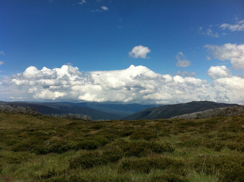
After 17.5km the road flattens off again, before climbing gradually and then heading into a slight downhill after 17.9km. Over the next few kilometres you’ll find yourself climbing for several hundred metres at a time before being rewarded with a short false-flat for your efforts. With the gradient rarely going above 7% you’ll have time in this section of the climb to appreciate the wonderful scenery.
After 21.1km of climbing you’ll be presented with some wonderful views of the Falls Creek plateau on the right-hand side of the road. After another kilometre of manageable climbing and false-flats, you’ll come across the nastiest pinch you’ll have seen in a while. It starts at the 22.2km mark and as the road bends very sharply around to the left, the gradient increases to 10%. This gradient is maintained for several hundred metres before a more manageable pinch of 7-8% returns.
The road really opens up after 23.1km and you’ll find yourself quite exposed on the Falls Creek plateau. As you climb the remaining 1.3km to the top, be sure to enjoy the terrific views to the right-hand side of the road. The climb concludes at a significant crest in the road after 23.4km of climbing.
From here you can enjoy the 13km of mostly-downhill as the road winds its way around the Rocky Valley Dam and back to Falls Creek.
LOCATION
The Back of Falls climb starts roughly 40km north west of the small rural town of Omeo. It’s a solid five-hour drive from Melbourne to Omeo via Bairnsdale and even longer if you go via Wangaratta and the Great Alpine Road.
If you start your ride in Omeo, climb the Back of Falls and then return to Omeo, you’re looking at a very challenging 130km ride. This blows out to more than 150km if you turn around at Falls Creek instead.
Another option is to start riding from Falls Creek, ride down the Bogong High Plains Road and then head back up the climb for a ~70km day. This ride could be extended (in length and in vertical metres) by starting from Bogong (100km and plenty of climbing) or Mt. Beauty (130km and even more climbing).
As with all alpine climbs, the weather on the Back of Falls climb can turn nasty very quickly. Be prepared for bad weather, even in summer. There’s nowhere to buy food or drink between Anglers Rest and Falls Creek so be sure to take enough with you when you set out. Also be aware that mobile phone reception can be pretty sketchy along the Bogong High Plains Road.
STRAVA
Want to see how your time up the Back of Falls compares? Be sure to check out the Strava segment.
If this description tickled some twisted desire deep down inside you, you should check out the remaining climbs of Peaks Challenge Falls Creek:
FIND YOUR LIMITBecome our friend
Find out more about Bicycle Network and support us in making it easier for people to ride bikes.