
UNITED ENERGY AROUND THE BAY
Words by cycling coach, Kate Perry
It wasn’t until the lockdown in 2020 that I discovered the true extent of Melbourne’s bike path network. Having lived in Melbourne’s inner west and north most of my bicycle riding years, I am a creature of habit when it comes to my favourite loops. But being restricted to a 5km radius around Richmond forced me to look closer to home, to seek out the bike paths at my doorstep, and then as restrictions eased I started to explore further and further.
Rather than riding the busy roads out to the Dandenongs, I explored the bike paths that could drop me at the Basin – the base of the popular 1 in 20 climb. Not only is it more enjoyable and safer, but it offers less traffic lights and a more non-stop pedal out to some of Melbourne’s most picturesque climbs.
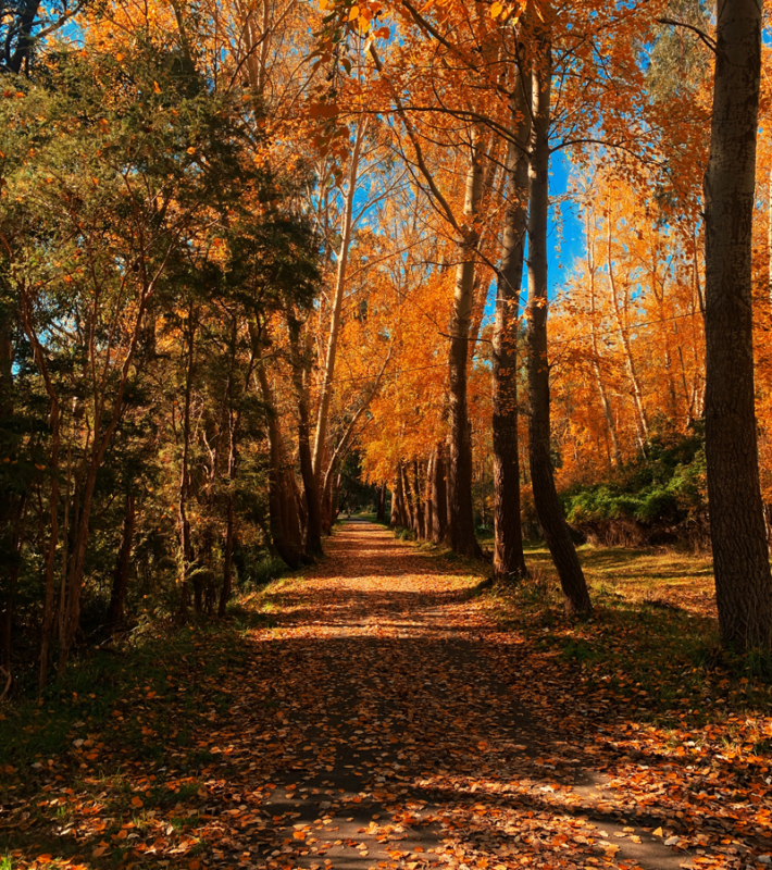
From there, I ventured further North East and discovered the Lilydale-Warburton trail – 40kms of Melbourne’s finest, most compact gravel. Along the way I discovered some other loops incorporating the Main Yarra and Mullum Mullum Creek trail, which offer a comfortable few hours on the bike.
My advice for those starting out on the bike, and who may be feeling a bit adventurous? Start local, then spread those wings a little bit further each time. Whether you are up for the 20kms, 60kms or perhaps 135kms, there really is something for everyone when it comes to cycling in Melbourne.
Below I have listed a few of my favourites, which hopefully can soon become some of your favourites too. Happy riding!
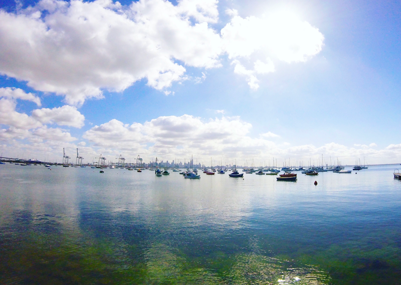
Melbourne’s inner west – Docklands to Altona Beach return
For those who live in the West, let me introduce to you the #otherbeachroad. Whilst the linked route is mapped from Docklands, you really can link up at a few different points along the way.
Starting in Docklands, the route takes you towards Footscray, past the docks and towards Yarraville and then onto Williamstown. You can follow the bike path route all the way to Williamstown Beach, before continuing on towards Altona Beach. With ample coffee stops along the way, you can take this route at your own pace. A quieter alternative to Beach Rd, this loop is good for beginners.
Route details
- Distance: 45km
- Elevation: 105m
- Level: Beginner
Inner north – Mount Pleasant loop from Chandler Hwy
A “Mt P” loop is becoming increasingly popular amongst riders in search of some vertical metres. The great thing about this loop is that it never gets any easier! How is that a good thing you ask? Because you can take it as hard or as easy as you like and still get a workout.
There are a few ways in which you can get out to a Mt P loop, but the one linked here is via the Main Yarra Trail, namely to avoid the traffic. Depending on how you get out there, you could easily get 500m of vert per hour, but the linked loop here is about that in total if you opt for the flatter route out there.
Route details
- Distance: 53km
- Elevation: 578m
- Level: Intermediate
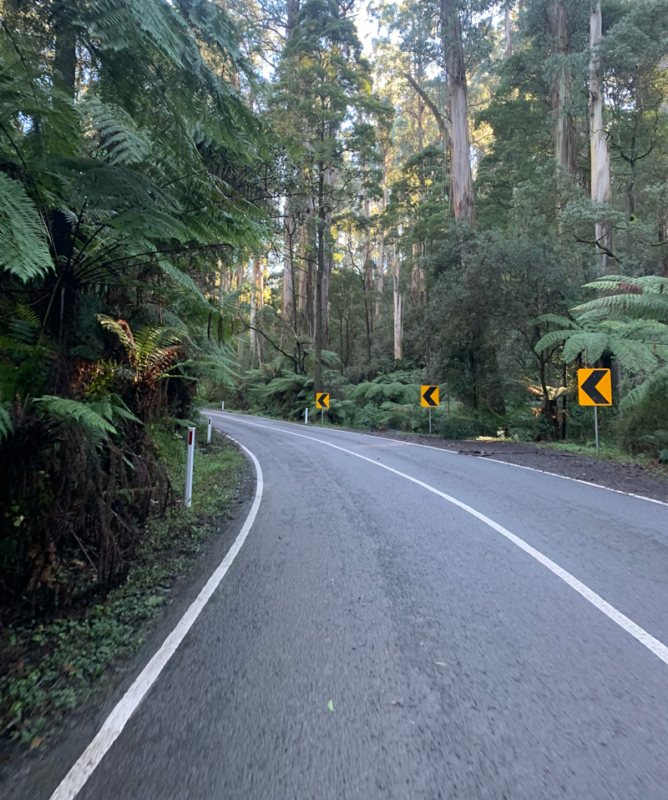
Melbourne’s east – out to the Basin and into the hills
You don’t have to be a cyclist to enjoy the Dandenongs, but it is a great way to take in the fresh air and scenery, that’s for sure! Usually, the only deterrent from riding out to the ‘Nongs’ is the traffic, so here is a great way to get out to the base of the 1:20 (The Basin) which avoids the busy roads.
Taking in the 1:20, the ‘Wall’ and Perrins Creek Road, these are some of the most popular climbs. But once you have mastered these, the opportunities are endless.
The route below starts in Melbourne’s inner suburbs of Richmond, and follows the Main Yarra Trail out towards Bayswater, but again, you could jump onto the Eastlink trail from numerous spots. Dropping you at the Basin, from there you can begin to explore. Stopping for coffee at Proserpina Bakehouse is a must – be sure to have worked up an appetite before stopping though, as their cabinet is filled with pastry goodness!
Route details
- Distance: 118km
- Elevation: 1450m
- Level: Intermediate/Advanced
Inner Melbourne - Yarra Blvd – laps upon laps
When most people think of places to ride in Melbourne which are safe and easy to get to, it is hard to go past the Yarra Blvd. Depending on which end you start, the 7km stretch of road snakes between Burnley and the “Guide Dogs end” on the Chandler Hwy near Kew. Fast, flowy, and a dedicated bike lane, makes this a popular bike route when you want some easy km’s. The segment is only 7kms long one way, but there are a lot of surrounding streets with punchy climbs once you have exhausted the “boulie”
Route details
- Distance: 13km (return)
- Elevation: 220m
- Level: Beginner
Note, route below is a strava segment
View route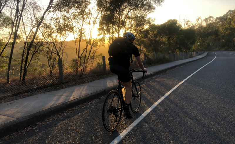
Inner north east – Main Yarra Trail & Mullum Mullum Creek
I have pinched this loop from a good friend of mine, who is the king of finding inner city gravel paths. 50 kilometres of goodness, this loop includes some of the paths in the Mt P loop, but then circles back along the Mullum Mullum Creek trail. Perfect for packing a light lunch and picking one of the many stops along the way to park under a tree by the river and enjoy a homemade sandwich and thermos of coffee. Alternatively, if you want a quick burn around on two wheels in an hour or two, then this is a good option.
Starting at the same point on the Main Yarra Trail (Chandler Hwy) it then snakes its way through Kew towards Box Hill, Ringwood, Park Orchards, Templestowe, Heidelberg, then back through Ivanhoe to the Main Yarra Trail
Did someone say gravel?! – Lilydale to Warburton Rail Trail
I am fortunate enough to have my parents live out in the Yarra Valley, which means I have ridden this trail countless times, and each time I fall in love with it even more. (Relatively) flat, the compact gravel trail makes for an enjoyable trip, with plenty of stops along the way (park benches, carriage cafes, deviations into towns).
If you are doing this trail for the first time and don’t want to ride all the way out to Lilydale the best option is to catch the train to Lilydale. From there it is 40kms to Warburton, where I personally think one of the best things to do is order a Woodfired Pizza from Little Joe’s in the main strip of shops of Warburton. The sail on home back to Lilydale, stopping to say hello to the Spoonville in Seville.
Route details
- Distance: 40km
- Elevation: 271m
- Level: Beginner
More resources
Some of the best sources of information your best local bike routes are your fellow riders. Check out some of the Facebook groups below for ideas.
Sign up to United Energy Around the Bay by 2 June to save and score a free jersey!
Enter nowBecome our friend
Find out more about Bicycle Network and support us in making it easier for people to ride bikes.