
Tips & Resources
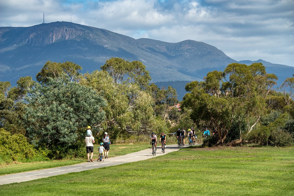
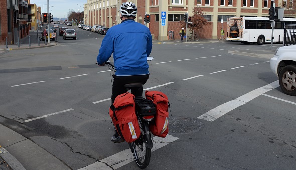
If you want to use the new ferry between Bellerive and Hobart but are worried about riding your bicycle to the terminal, we’ve got some suggested routes for you. These routes try to to stick to shared paths, footpaths and quieter roads for people who are not confident bicycle riders. You are allowed to ride on footpaths in Tasmania but please give way to people walking and don’t ride if there is a council sign forbidding it. The maps show the elevation at certain points along the route. Most of the hills on the eastern shore can be handled with good gears and practice – just take them slowly until you get used to them – or if it’s too much, consider an electric bicycle. Information on the ferry can be found at www.derwentferries.com.au
coming from
These suburbs are closer to the bridge than the ferry but if you don’t like riding on the bridge, then a quick cycle to the ferry could be just the ticket. The Foreshore Trail up to the bridge is great, but once you get under the bridge it is windy and hilly, nice if you have the time but not if you need to get to Bellerive quickly. There is a good shared path on the eastern side of the East Derwent Highway that heads up the Tasman Highway and over to Rosny Hill Road where another shared path takes you to the cycleable overpass and down to the Foreshore Trail from which it’s a quick cycle around to the terminal. Time: 4.3 km, 10-20 minutes If you don’t want to make multiple crossings to use the Rosny Hill Rd route you can cut through backs streets from the bridge to get to the Foreshore Trail, but just ride on the footpath if the cars make you feel uncomfortable. Go under the bridge and past the primary school then get onto the road or footpath at Montagu Bay Road, turn right at Riawena then right onto Bastick down to the boat ramp where you can get on to the Foreshore Trail and ride around to the terminal. You can also take Kellatie Road onto Bastick St which is as steep as Montagu but you avoid have to cross Riawena Rd and the steepest point of Bastick. Time: 4.9 km, 15-25 minutes Become a Bicycle Network member and be covered every time you ride
coming from
The Foreshore Trail is in good condition for much of the distance from Howrah to the ferry terminal so is the obvious choice for people wanting to ride, although you can take some shortcut back streets to shorten your journey. The trail is not well lit so if it’s dark, you’ll need a strong light or switch your route to quiet streets/footpaths. There is a good shared path along Rokeby Rd from Tollard Drive that connects to the start of Clarence Street which is quiet and then cutting through Mortyn Place takes you to the Foreshore Trail. The Foreshore Trail is quite direct and only a bit longer than taking Clarence Street which doesn’t have great footpaths to ride on. To cut the trip shorter you can go down Queen Street on the footpath or road to the ferry terminal. Time: 6.4 km, 15-25 minutes This is the same route as above but you take the Foreshore Trail the whole way around rather than turning off at Queen Street. This means you can ride on shared path and footpath for the whole journey. The Foreshore Trail is narrower around the bluff so you’ll have to slow down for other users more often. Also note that the Foreshore Tail is a mix of sealed and unsealed paths and at Howrah there is a steep section. Time: 7.3 km, 20-25 minutes Become a Bicycle Network member and be covered every time you ride
Coming from
Starting at the top of Bligh Street, you can ride on the footpath or on the road down to Gordons Hill Road where you get on to the Kangaroo Bay Rivulet Track, over Rosny Hill Road, down to the Foreshore Trail and around to the ferry terminal. The Rivulet Track is gravel so you may not want to take this route if you have skinny tyres. If it’s been raining hard and you’re worried about a bit of splatter, just keep going on the footpath and cross over to the Foreshore Trail at the lights. Time 4.7 km, 10-15 minutes Tasmania’s dark winters mean a set of good front and back lights is essential, these days you can charge them on your computer when you get to work. It’s so easy! Check out these few easy tips to make riding on the road more comfortable and safer for you. Don’t let a flat tyre stop you riding, check out our easy how to guide and video on fixing your puncture. Cycling for transport means you’ll want a basket, back pack or panniers to carry clothes, shopping and work tools. People with children may opt for a seat on the back or a cargo bike with front seating. Once you’ve got your dream bike you don’t want to lose it to thieves, so invest in a good quality lock and look for secure places to park it. The type of bike you need depends on why you want to ride, electric bikes, hybrids, mountain bikes and road bikes can all help you get around.
Rose Bay, Lindisfarne
Foreshore Trail–Rosny Hill Road
Bellerive–Bastick Street–Foreshore Trail–Lindisfarne
Rokeby, Howrah
Rokeby shared path–Foreshore Trail–Queen Street
Bellerive–Foreshore Trail–Rokeby shared path
Warrane, Mornington
Bligh St–Rivulet Track–Foreshore Trail
Tips for riding to the ferry
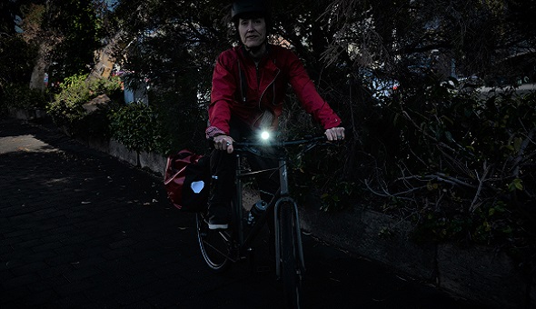
Be seen with good lights
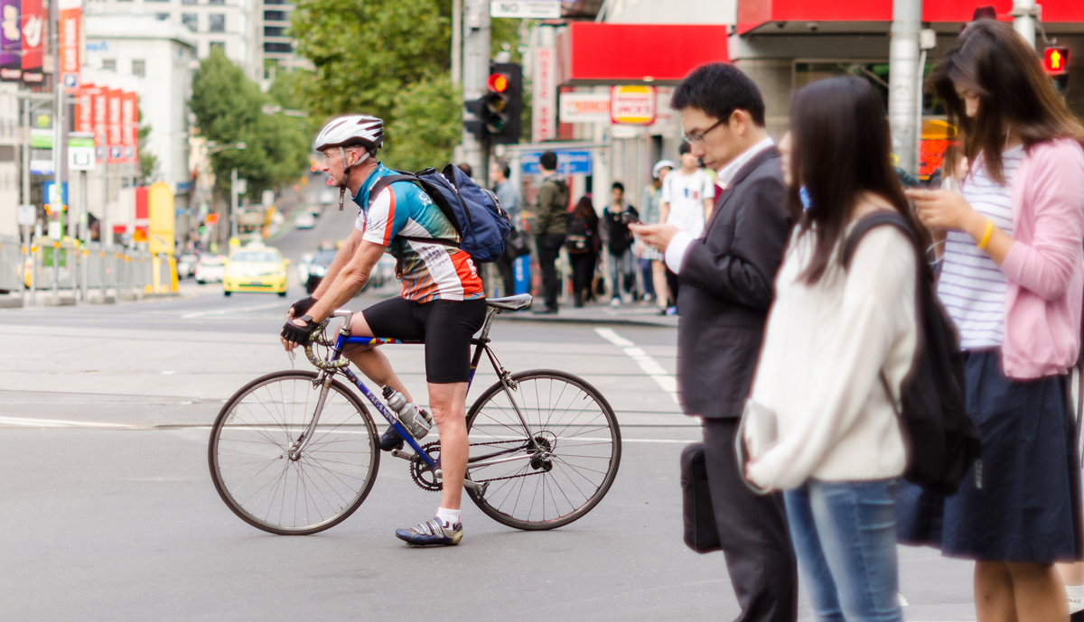
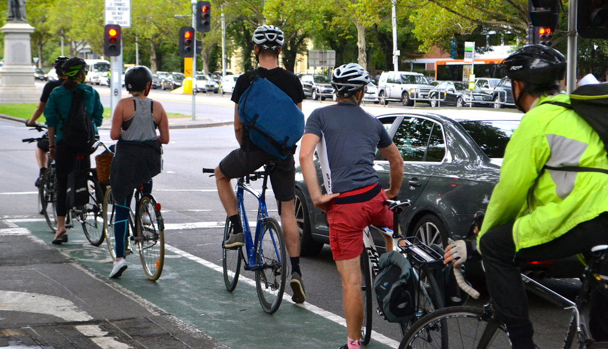
Riding on roads
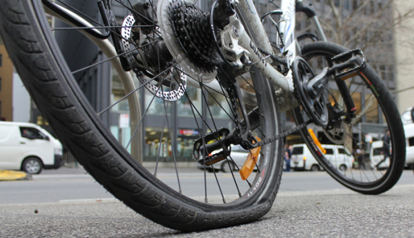
Fixing a flat tyre
Carrying stuff
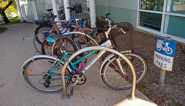
Locking your bike
Choosing a bike