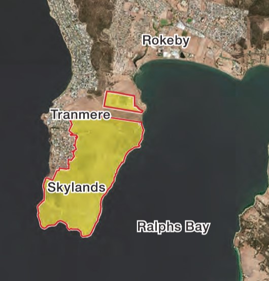
The masterplan for one of the biggest single land redevelopments in Hobart is out for public comment as the developer seeks to adjust Clarence City Council’s urban growth boundary.
The “Skylands” masterplan for Droughty point south-east of Hobart has been released by Clarence Council as its adoption will require an adjustment of where houses are allowed to be built higher up the hill slopes.
The Skylands planners say the finished result will be walkable and “bikeable” communities, and while the continuation of the Foreshore Trail is a big tick, work still needs to be done to ensure safe infrastructure at street level specifically for bikes and scooters is included in the plan.
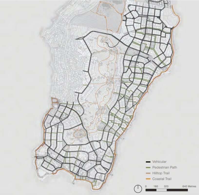
The masterplan includes a map showing new and existing roads, pedestrian stairs and paths up the hills, and shared cycling and walking hilltop and coastal trails.
Foreshore Trail extended
The continuation of the Foreshore Trail around the peninsula (except for the end point where the trail stops then restarts) is an important move in building a continuous foreshore trail from Lindsifarne around to Rokeby.
The trail can be used by local residents for recreation, to get around to the different shopping hubs, to get to a potential ferry terminal, and to get in and out of the development.
The Appendix refers to the coastal trail being 3 metres in width and describes it as a footpath, which hopefully means it will be sealed so it can be an all-weather commuting option.
It may also provide incentive to Clarence Council to come up with an on-road solution for the missing section of trail between Tranmere and Howrah roads and to seal the gravel section.
If we had a continuous foreshore trail from Lindisfarne to Rokeby it could be used by visitors and locals for a day’s riding or a ride out to the point and ferry back to Hobart.
The masterplan also plans for shared cycling and walking hilltop trails which can be used to connect across the suburbs or as a destination in themselves.
The trails will connect playgrounds, picnic sites and lookouts and will be among bush, with cleared areas at the saddles.
There is no detail on the width or the surface type, although one illustration indicated they could include boardwalks.
Street-level infrastructure needed
While the Foreshore Trail will be a great connector, infrastructure planned to help people safely ride or scoot at street level is left as optional rather than essential part of the overall plan.
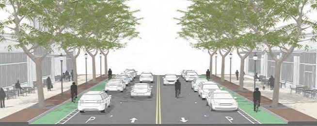
The suggested plan for street types on page 120 does not include any street types with bike lanes, but instead prioritises on-street parking on both sides of the street.
As a medium to density greenfields development we’d like to see best practice planning employed so that there are separated spaces for people to ride and scoot, especially to connect schools, shops, public transport and services.
Neighbourhood 2, where a ferry terminal is proposed, and Neighbourhood 3, which contains the town centre, are especially in need of cycleways as the ferry will be carrying tourists, visiting locals as well as residents.
While illustrations can show people riding on the road, we know the majority of the population don’t want to ride with traffic. Dedicated infrastructure that feels safe for most people is essential if riding is going to be a transport option.
Electric Bicycles mean that areas once considered too steep to have bike riding facilities should now include them as a transport option, along with electric scooters.
The masterplan offers a range of street types that include bike lanes but none of these street types are included in illustrations or numbered plans.
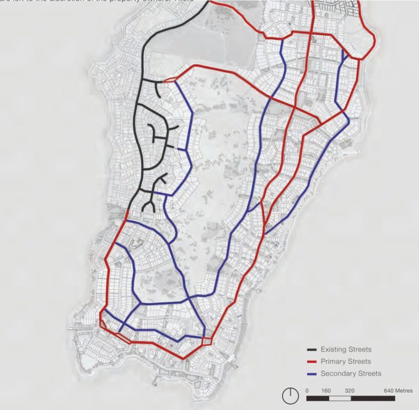
We’d like to see streets with separated cycleways mandated as part of the acceptance of the masterplan. The developers have said they intend to have bike lanes on spine roads and will work with communities to include them on other roads if desired, but the intentions need to be included in the plan at this stage to ensure road widths are there to do it properly.
Primary and secondary streets are identified in the plan and the developers should commit to separated cycleways on these streets as they connect through the neighbourhood shopping centres and to residential areas.
Have your say on Skylands plan
You can view the masterplan and comment on the Clarence Council website before 5 pm, 28 March 2022.
Plan & Survey