Construction of three new sections of coastal pathway is now underway or soon to start in Devonport and Central Coast council areas, so start planning some late Autumn–early winter rides!
The Cradle Coast Authority and Central Coast Council are working on two sections of pathway that will provide routes in and out of Penguin and Turners Beach and Leith.
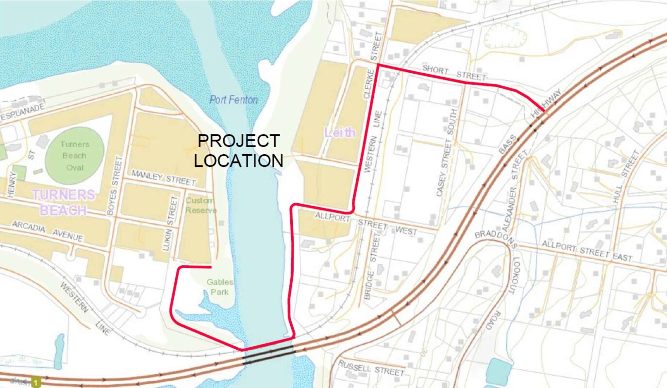
Leith to Turners Beach
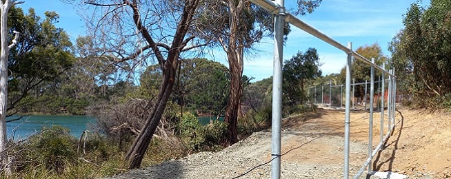
Leith has been in the news recently with the government’s decision to abandon the overpass proposal, but what came out during that consultation was that few people knew of the underpass between the two halves of Leith.
The underpass runs under the Bass Highway but doesn’t have obvious signage or pathways directing people to it and it’s not accessible for people riding west on the highway.
The path will be upgraded and widened on the northern side of the highway so it follows Short Street to Clerke Street then around Allport Street West to the river bank, across the old railway bridge and around to the end of Custom Reserve. If the weather is favourable, the path should be finished by the middle of this year.
A decision about the path’s continuation through Turners Beach is yet to be determined.
Don to Leith
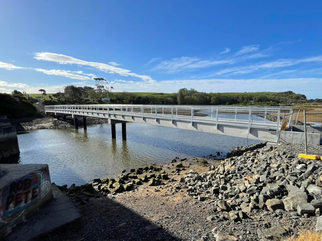
On the other side of the underpass will be a new pathway linking through to Don and the Devonport path network.
The new bridge over the Don River has been finished to link the current Devonport foreshore trail to the other bank.
The Cradle Coast Authority is managing construction of a new 6.5 km path that will connect the western bank through to the Leith underpass. This will follow Don Heads and Waverley roads then sit inland on the southern side of the Bass Highway. Work is due to start and finish this year.
As we’ve said in previous In the Loops, once these sections are finished you’ll be able to ride the roughly 23 km or so from Latrobe to Leith on mostly wide paths.
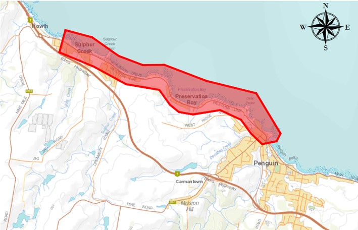
Sulphur Creek to Penguin
Work started in November on a 5.5 km section of pathway that will join Sulphur Creek to the new path around the Penguin foreshore.
Most of the path will be north of Preservation Drive and will be completely separated from traffic on the road. At the Sulphur Creek end it will cross Preservation Drive and sit on the southern side for about 700 metres until it hits Hogarth Road.
From Hogarth Road there is a narrow path that follows the Bass Highway to Heybridge. This leaves a hole through Burnie between Heybridge and Cooee, with the Wynyard to Cooee path looking like the next cab off the rank for construction.