
With so many of us exploring our local areas by bike one of our ride leaders has put up a new self-guided route exploring the hills of West Hobart, Mt Stuart and Lenah Valley.
It takes about one hour to do the full route, which is perfect for your lunchtime break or after schooling/work is done for the day and it gets you out into the bushland as well as exploring quieter back streets.
This can be an e-bike route if hills don’t thrill you, or more of a workout for people looking for a bit of physical challenge. And the reward for getting to the top is of course the gorgeous views over Hobart and the River Derwent.
You can start and end the ride anywhere along the route, but following the cue sheet it begins at the Bicycle Network Tasmania office at 210 Collins Street.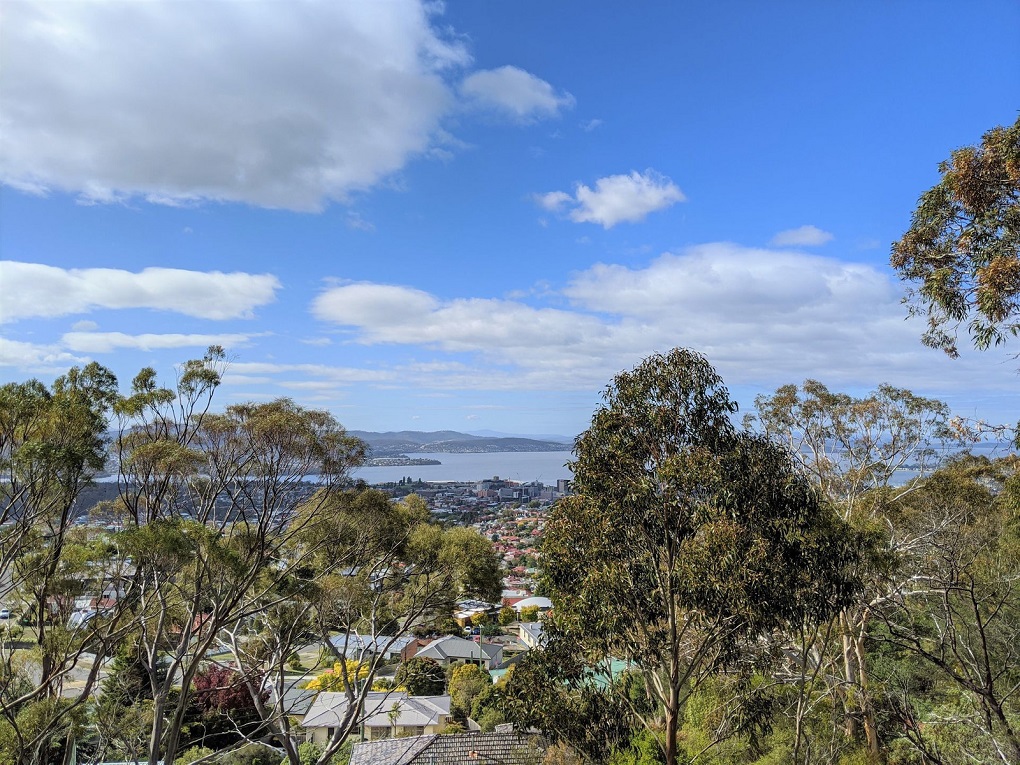
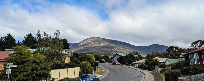
It starts climbing steeply into West Hobart straight away along quiet streets and connections you may be unaware of, until you are soon at the top of Forest Road and heading onto the gravel trails in Knocklofty Reserve. These are shared paths and popular with locals, so please keep left, ring your bell and slow down when passing others.
There are a couple of lookouts in Knocklofty which make the climb worthwhile and from the paths you’ll head on to gravel fire trails through the bushland reserve, ending up at at the top of Mt Stuart.
From Mt Stuart you’ll descend down into Lenah Valley to the charming Ancanthe Park with it’s classical sandstone museum and more recent modern rammed earth toilets and bus stop!
It’s then back onto urban roads so eyes out for traffic again, but with that comes the option for a takeway coffee or cake. The return ride heads back through North Hobart and West Hobart on quieter roads, so if you are on your one trip out of the house for the day, combine your ride with some shopping on the final stretch back to Collin Street. 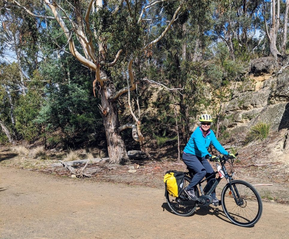
This is a 16 km ride and provides plenty of opportunities to take a break or grab a take-away drink and snack, with the highest point reached at 236 metres on the initial ascent.
This self-guided ride is available on our RidewithGPS Amabassador Routes page and provides you with a printable map and basic cue sheet to let you know when to turn.
Bicycle Network’s Tasmanian members can also access the ride through the Riders Club on RidewithGPS which provides you with voice navigation. If you are a Bicycle Network member and haven’t received your entry to the club please email ridestas@bicyclenetwork.com.au.