
The Department of State Growth has revised plans to widen the Tasman Highway between the airport and Midway Point causeway and new plans include a shared riding and walking path along the northern edge of the road.
The initial plans were rejected by the community for taking land from either the Tasmanian Golf Club or private land, which contained threatened plants, to build a roundabout.
The new plans get rid of the roundabout in favour of traffic lights, thus using less land.
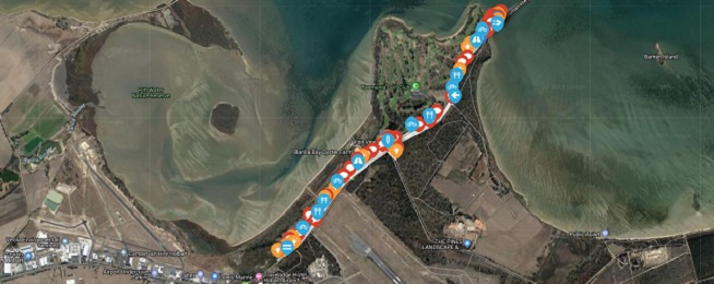
As the department has only released one section of planning for the route between Sorell and Hobart it’s difficult to see how the 2.5 metre wide shared cycling and walking path will fit in.
The new plans have it starting at Cambridge Road and running along the northern edge of the road.
This would mean riders wanting to go further than the Midway Point causeway would have to cross the road to the southern side where the current shared path sits.
It's not clear whether the government intends to include a shared path on the widened, four-lane causeway and whether this would result in the shared path being continued on the northern side.
Currently, there is a sign warning drivers of bicycles crossing the highway from the northern to southern side for riders wanting to get on and off the shared path. However, there is no priority or protection for riders wanting to cross, which can be difficult in heavy traffic.
Bicycle Network applauds the inclusion of separated cycle facilities in the plan but would like to see the overall route plan before decisions are made on individual sections.
The land along the highway and Sorell area is home to more and more people and ideally there should be a safe cycleway along the corridor allowing people to ride to schools, workplaces and shopping areas.
A direct cycling route that sticks mostly to one side of the road with protected crossings at key points like the airport would give people working, visiting and living in the area extra transport and recreational options.
You can comment on the plans online by putting your ideas or feedback on the interactive map.