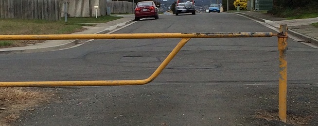
Launceston has a plan to make it easier to link up to the Mowbray-Rocherlea trail, north-east of the city.
The trail is a popular outing for riders, particularly families, but it takes a bit of navigating to find it.
And the gap between the southern end of the trail and the trail into the Inveresk Precinct is on roads and footpaths.
The City of Launceston proposes to erect signage to better guide riders through the gap.
When riders heading north leave the trail from Inveresk they can either head west on Vermont Road, where there is a bike lane for part of the distance or cross Vermont Road to continue on the trail that loops west to join Remount Road.
That means a further deviation back to Vermont Road.
Riders then have to negotiate a roundabout at the junction with Jellico Street, which serves the car park of a large shopping complex, before getting on the quiet suburban streets that wind their way to Dover Village and on to the trail to Rocherlea.
Those back streets will be well signposted and Jellico St will have bike stencils on the roadway.
Bicycle Network has suggested the use of sharrows, which use a chevron and a bike symbol to denote the road is a shared space.
If the sharrows are approved, it will be the first time they are used in Tasmania.
They are a popular device in Victoria and are covered by VicRoads regulations. So, it would be a good test of the concept in Tasmania, hopefully leading to the Department of State Growth and councils adopting the practice.
They are normally used when a bike trail or lane ends on a low-traffic volume, low-speed suburban street to remind drivers and riders they are sharing the space.
The original plan to complete the Rocherlea trail was for the trail to be reconstructed behind the Mowbray racecourse to join the trail.
However, that plan has been put on hold as it involves the reconstruction of a dam wall on the racecourse property – not to mention the property legalities this entails.


