
On 5 July about 100 engineers, planners, designers, researchers and decision-makers from local and state government, private business and the University of Tasmania came together to hear why separated cycleways are a good idea for Tasmania.
The Bike Futures seminar, funded by the Tasmanian Government's Department of State Growth and supported by the University of Tasmania, was the last in a series which sought to improve local awareness and skills.
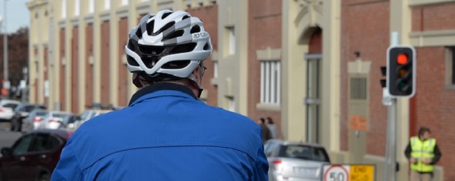
Separated cycleways are being built on roads and separated from traffic by kerbs, barriers, bollards, parked cars or plants. They are typically created by narrowing traffic lanes or removing one side of on-street parking.
The principles of age 8–80 or AAA (All Ages and Abilities) are applied so that bicycle facilities can be comfortably used by most people in the community.
Cities around the world that have been traditionally car-dominated are moving towards separated cycleways supplemented by low-speed, traffic calmed streets to get more people riding and showing results.
In Vancouver in Canada, trips by bicycles have more than doubled in less then ten years from 3% in 2008 to 6.9% in 2017 and are on track to reach the 2040 target of 12%. Trips to work by bicycle have also increased significantly since separated lanes were expanded in the city centre from 6.6% in 2013 to 10.5% in 2016.
Washington in the US has tripled its number of commuter riders since 2006, up to 5% of all commuters.
In the City of Sydney local government area the number of people riding in the morning and evening peaks has doubled in the past seven years. On Sydney’s separated cycleways, the increases have been staggering with most showing increases above 300% and the Kent–Druitt Street route at 645%.
The three main seminar speakers shared the innovations and ideas that have been implemented elsewhere to boost rider numbers:
- Transport planning consultant Knowles Tivendale, Movement and Place Consulting
- City of Sydney’s head of Cycling Strategy Fiona Campbell, Sydney Cycleways
- Transport innovation consultant Elliot Fishman, Institute for Sensible Transport
Participants also heard from the City of Hobart’s Planning Director Neil Noye who ran through the major developments being constructed or planned for the city that would increase the number of people wanting to move through and around it.
To insert some practical activity into the day, participants headed out on to Campbell Street where they discussed the opportunities and challenges for installing a separated bicycle lane from the penitentiary down to the waterfront. They also checked out the excellent end-of-trip facilities at the Menzies Institute building to see how it should be done.